HP
Construction robots
- Weight
- 8.9 kg
- Runtime
- 8 h
- Key feature
- ±3 mm accuracy
On order
Price on request
Updated
USE CASE · CONSTRUCTION
The robot transfers axes, partitions, openings and set-out points from the digital plan to the ground. The surveyor and site manager keep control of the references and the sign-off.
Updated
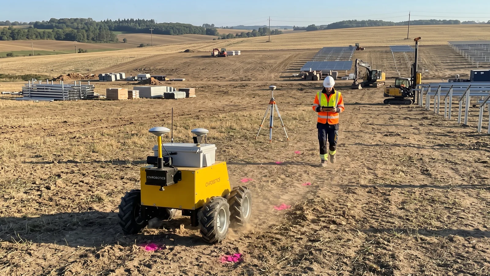
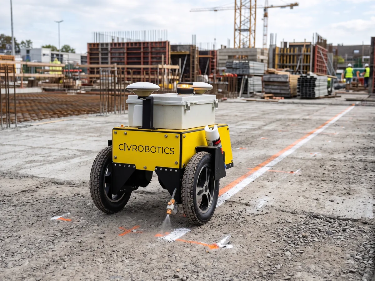
A layout robot marks the lines, points and text of a CAD or BIM plan on the slab or the ground, guided by a total station or by RTK GNSS.
HP SitePrint prints at 900 m/h with a ±3 mm average tolerance and runs an 8-hour shift on two batteries, according to its manufacturer.
Robot Distribution delivers it, sets it up with your survey instruments, trains your teams and maintains it, to buy, rent or as RaaS.
WHY
On a building site, partitions, ducts and openings are still marked out with chalk line and tape, kneeling on the slab. On a solar farm or civil works platform, set-out moves point by point, stake by stake.
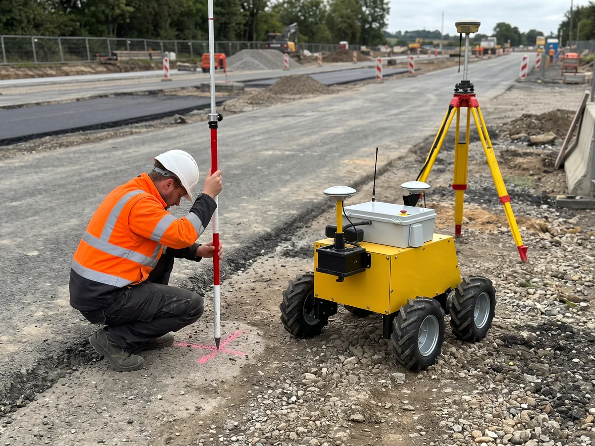
The robot reads the digital plan and transfers it to the ground, guided by a total station indoors or by RTK GNSS outdoors. The surveyor keeps the reference set-up, the checks and the sign-off of the layout.
HOW IT RUNS
The layers to mark are exported from the CAD or BIM software: axes, partitions, openings, points or text. The CivDot+ accepts CSV or DXF files, according to its manufacturer.
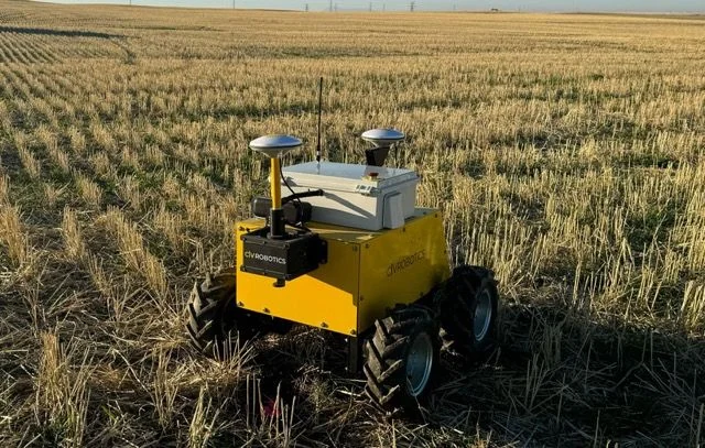
The robot is tied to the site references: a Leica, Topcon or Trimble total station for HP SitePrint, a GNSS base or NTRIP network for the Civ Robotics robots, according to their manufacturers.
The robot drives across the area and prints lines and points. The Partner Robotics L3000 states at least 200 m²/h in housing and 300 m²/h in commercial buildings, according to its manufacturer.
The surveyor or site manager checks control points and signs off the layout; areas the robot cannot reach are completed by hand.
THE ROBOTS
HP
Construction robots
Partner Robotics
Construction robots
Construction robots
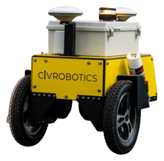
Construction robots
Construction robots
BEFORE INSTALLING
Slab cleanliness, slopes and obstacles are noted: HP SitePrint works on slopes up to 2.5° and avoids obstacles with three LiDARs and four cliff sensors, according to its manufacturer.
Site reference points and compatibility with your total stations or GNSS receivers are checked; TinySurveyor works with the user's own GNSS receiver or total station, according to its manufacturer.
Outdoors, GNSS reception and RTK corrections are checked; indoors, the line of sight between the total station and the robot.
CAD or BIM files, layers to mark and the type of ink or paint are agreed with the design office and the trades.
RULES AND STANDARDS
A layout robot is an autonomous machine that produces survey marks on the ground: machinery law, the surveying profession and networks rules all apply.
It applies from 20 January 2027; robots placed on the market before then follow Machinery Directive 2006/42/EC. Its Annex III adds definitions of autonomous mobile machinery and of the supervisor, a supervisory function, and a control system that performs safety functions by itself, taking into account the area where the machine moves and works. Ask which text the declaration of conformity cites.
The French law of 7 May 1946 gives géomètres-experts a monopoly on work that fixes land boundaries, as the government confirmed to the Senate in December 2024. Other topographic work, including set-out, is open to competition. A robot transfers points from a plan; boundary markers and property limits still require a géomètre-expert.
Article 89 of the law of 4 February 1995 requires survey data produced by the State, local authorities and public-service operators to be linked to the national reference system; the decree of 26 December 2000, amended in 2006, sets RGF93 with the Lambert-93 projection for mainland France. On public projects, check that the robot's plan files and RTK corrections use it.
Under article R554-27 of the French Environment Code, the project owner marks or stakes buried networks in service within, or less than 2 m from, the works area, under its responsibility and at its cost, following the order of 15 February 2012. The marking is kept for the whole site. If the robot paints network marks, they belong to this procedure.
General information, not legal advice.
FAQ
According to the manufacturer: ±3 mm on average for HP SitePrint (±2 mm in high-accuracy mode), 2 mm on axis lines and ±3 mm on edge lines for the Partner Robotics L3000, 8 mm per point for the CivDot+ outdoors.
Indoors, yes: HP SitePrint positions itself with a Leica, Topcon or Trimble robotic total station, according to its manufacturer. Outdoors, the Civ Robotics robots position themselves by RTK GNSS, with a base or NTRIP network.
According to the manufacturer: up to 1,200 points per day per operator for the CivDot+, up to 27 km of lines per day for the CivDot Mini, 900 m/h of printing for HP SitePrint.
HP SitePrint runs 8 hours on two exchangeable batteries, TinySurveyor up to 8 hours per charge and the Partner Robotics L3000 more than 5 hours, recharged in 2 hours, according to their manufacturers.
USE CASES
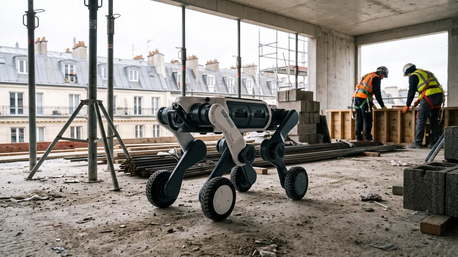 Construction site monitoringThe robot walks the site on a fixed route and brings back point clouds, photos and video. The site manager compares progress week by week without walking the whole site again.
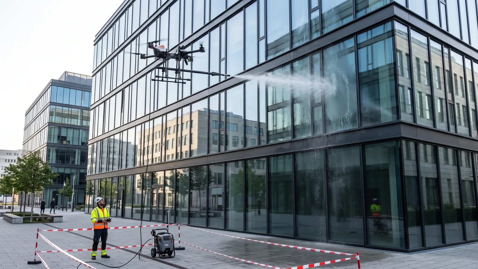 Robotic façade and window cleaningThe drone or robot washes the façade from the ground or from the gondola, without a rope access technician on every pass. The team keeps piloting, cordoning off and finishing.
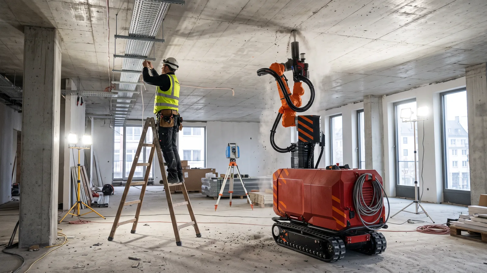 Robotic drilling and finishing on construction sitesThe robot takes on repetitive, strenuous site tasks: ceiling drilling, plastering, painting, tiling and block lifting. Tradespeople keep the preparation, touch-ups and quality control.
Robots, acquisition mode and delivery terms, in one written proposal.