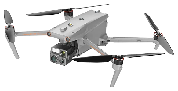
Professional drones
- Key feature
- 42 min flight time
- Ingress protection
- IP43
- Key feature
- 640×512 thermal
On order
From €9,490 ex VATor €319/month in RaaS
Updated
USE CASE · ENERGY AND SOLAR
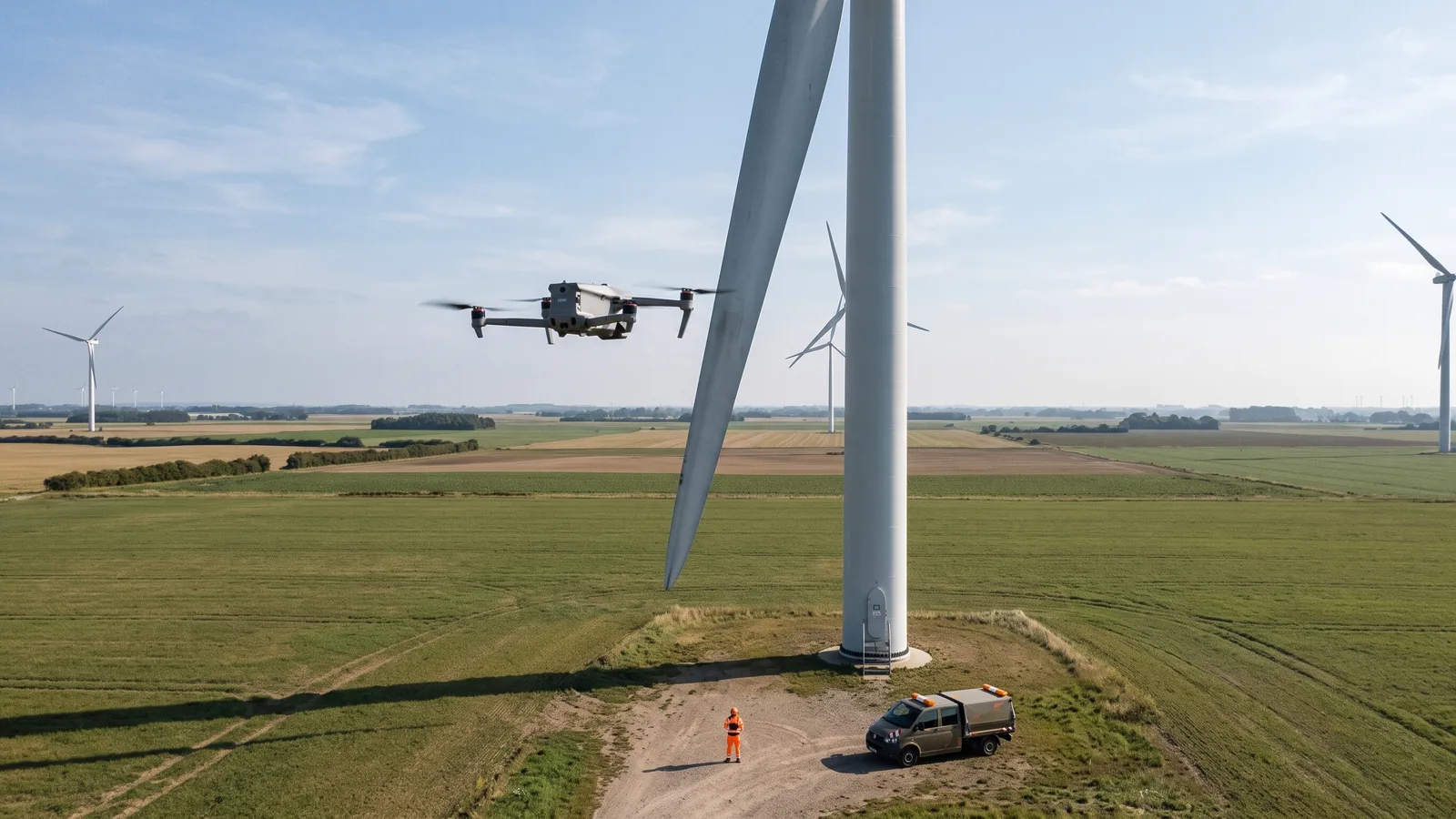
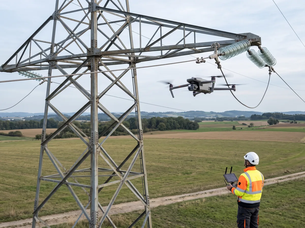
The drone flies along the lines and around the turbines, taking visible and thermal images of insulators, connections and blades. Maintenance crews only work at height on confirmed defects.
Updated
A power line and wind turbine inspection drone takes high-resolution and thermal images of towers, conductors, insulators and blades to find defects and hot spots without working at height.
The Autel EVO Max 4T V2 flies up to 42 min and carries a 48 MP zoom camera, a 640 × 512 thermal camera and a 5 to 1,200 m laser rangefinder, according to its manufacturer.
Robot Distribution selects the drones for your assets, prepares the regulatory framework with you, trains your remote pilots and maintains the fleet, to buy, rent or as RaaS.
WHY
An overhead line runs for tens of kilometres across fields, forests and hills; a wind turbine carries its blades tens of metres above the ground. Inspecting them on foot, by helicopter, from a lift or on ropes takes time and exposes crews to work at height.
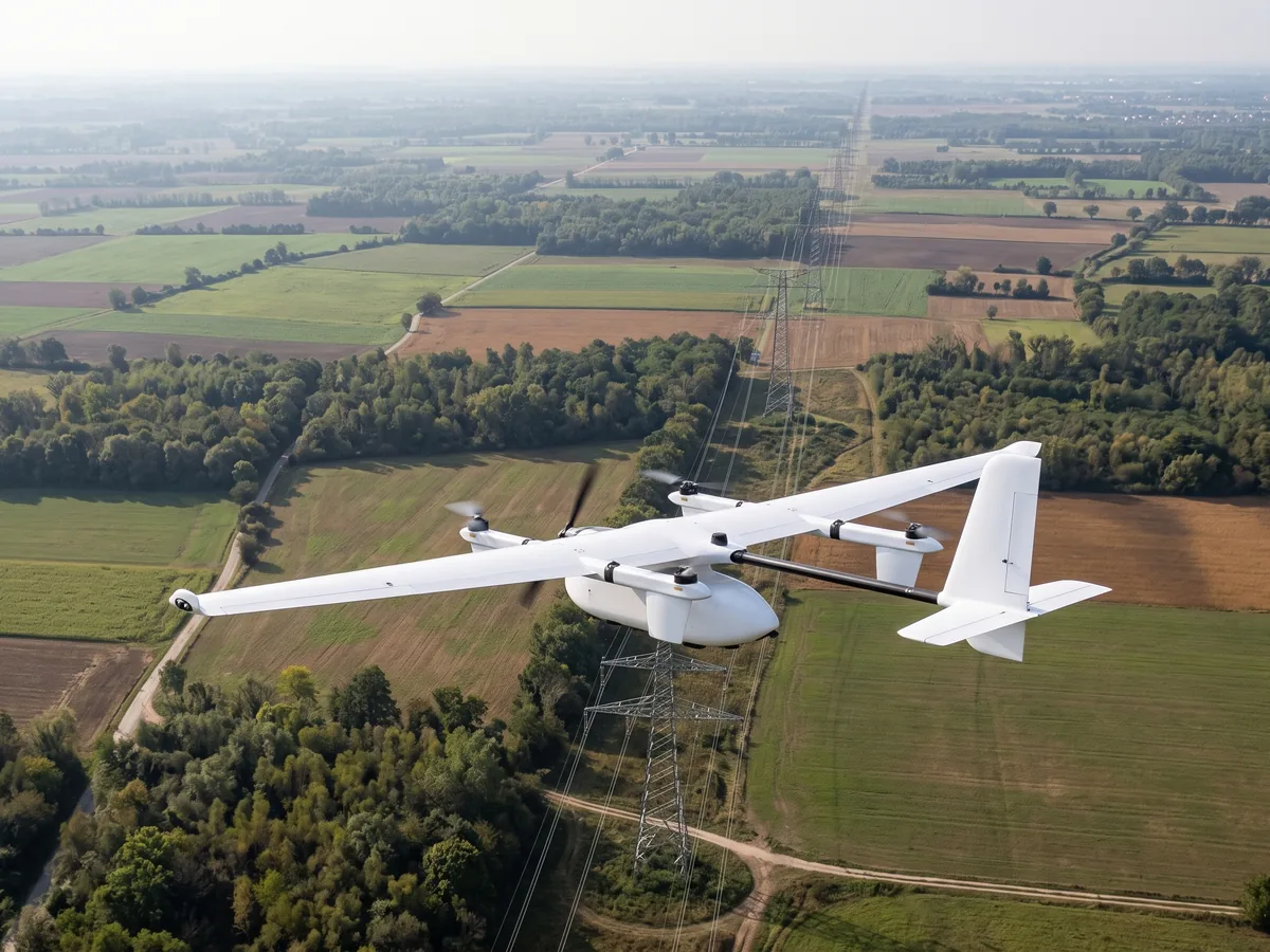
The multirotor drone sees a tower, an insulator or a blade's leading edge up close; the fixed-wing VTOL drone covers long line corridors. Geotagged images are compared from one campaign to the next to track how defects develop.
HOW IT RUNS
We list the line sections, towers and turbines, the data expected (photo, thermal, LiDAR) and the frequency. For a turbine, the stop and blade position are agreed with the operator.
Depending on the scenario, the flight falls under the open or specific category of Regulations (EU) 2019/947 and 2019/945. Beyond-visual-line-of-sight flight, needed on long corridors, requires authorisation from the national authority.
The multirotor circles the towers and follows the blades while keeping its distance. The fixed-wing VTOL JOUAV CW-15 cruises at 61 km/h and flies up to 120 min with its MG-120E gimbal, according to its manufacturer.
Images and thermal readings are sorted by tower or blade, with their position. Crews plan repairs and replacements on confirmed defects.
THE ROBOTS
Professional drones
Skydio
Professional drones
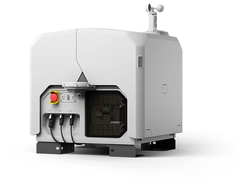
Professional drones
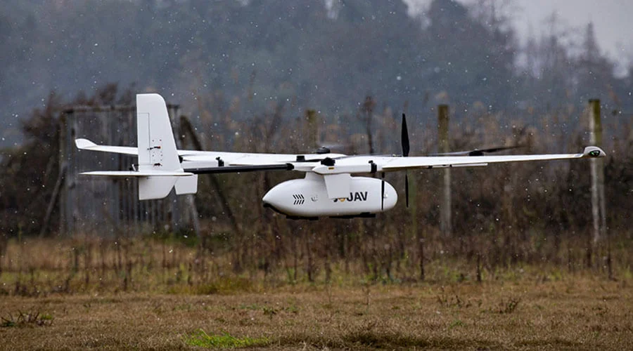
Professional drones
Parrot
Professional drones
BEFORE INSTALLING
Section length, terrain, vegetation and road access guide the choice between a multirotor flown on site, a docked drone and a fixed-wing aircraft.
Wind farms are windy: the Parrot ANAFI UKR withstands 15 m/s winds and the Autel EVO Max 4T V2 12 m/s, according to their manufacturers.
Airfields, restricted zones, populated areas and nearby lines determine the flight category and the flight paths.
Near live conductors, minimum flight distances are agreed with the grid operator to protect the drone's radio link and compass.
RULES AND STANDARDS
Long corridors and tall turbines raise three specific questions: flying beyond sight, flying above 120 m, and what a wind farm operator must inspect anyway.
Since 1 January 2026 the French national scenarios S-1 to S-3 no longer exist. Beyond visual line of sight, the European STS-02 requires a C6-class drone, a controlled ground area in a sparsely populated zone, and a range of 1 km from the remote pilot, or 2 km with airspace observers. Otherwise the DSAC can authorise flights on the PDRA-S02 or PDRA-G01 templates.
On the French ministry's specific-category page, any visual flight above 120 m in height needs approval from the regional airspace management committees, requested on CERFA form 15478*02 sent to the regional DSAC office. This approval comes on top of the DSAC operating authorisation, not instead of it. Plan it for nacelle and blade-tip work on tall turbines.
Article 18 of the French order of 26 August 2011 on wind farms requires a check three months, then one year after commissioning, then at least every three years: tower and blade-root flanges, blade fixing and a visual check of the tower. The classified-installations inspectorate reviews these records. Drone images can document the visual check; flange work remains for technicians.
General information, not legal advice.
FAQ
According to the manufacturer: 42 min for the Autel EVO Max 4T V2, 40 min for the Skydio X10, 54 min for the DJI Dock 3 aircraft, and up to 180 min without payload for the fixed-wing JOUAV CW-15.
With a thermal camera, yes: the Autel EVO Max 4T V2 and Skydio X10 carry a 640 × 512 thermal sensor, according to their manufacturers. Readings are best taken while the line is loaded, so that heating shows.
In the open category, Regulation (EU) 2019/947 limits height to 120 m, but allows flying up to 15 m above an artificial obstacle taller than 105 m, within 50 m of it, at the request of the entity responsible for it. Beyond that, the flight falls under the specific category.
For a substation or a nearby section, yes: the DJI Dock 3 covers a 10 km radius, recharges its drone from 15 to 95% in 27 min and can be vehicle-mounted, according to its manufacturer. For tens of kilometres, a fixed-wing drone or several docks are needed.
To fly close to people in the A2 subcategory of the open category, you need a C2 class drone: the Autel EVO Max 4T V2 series holds an EU C2 class certificate, according to its manufacturer. The remote pilot needs the matching training.
USE CASES
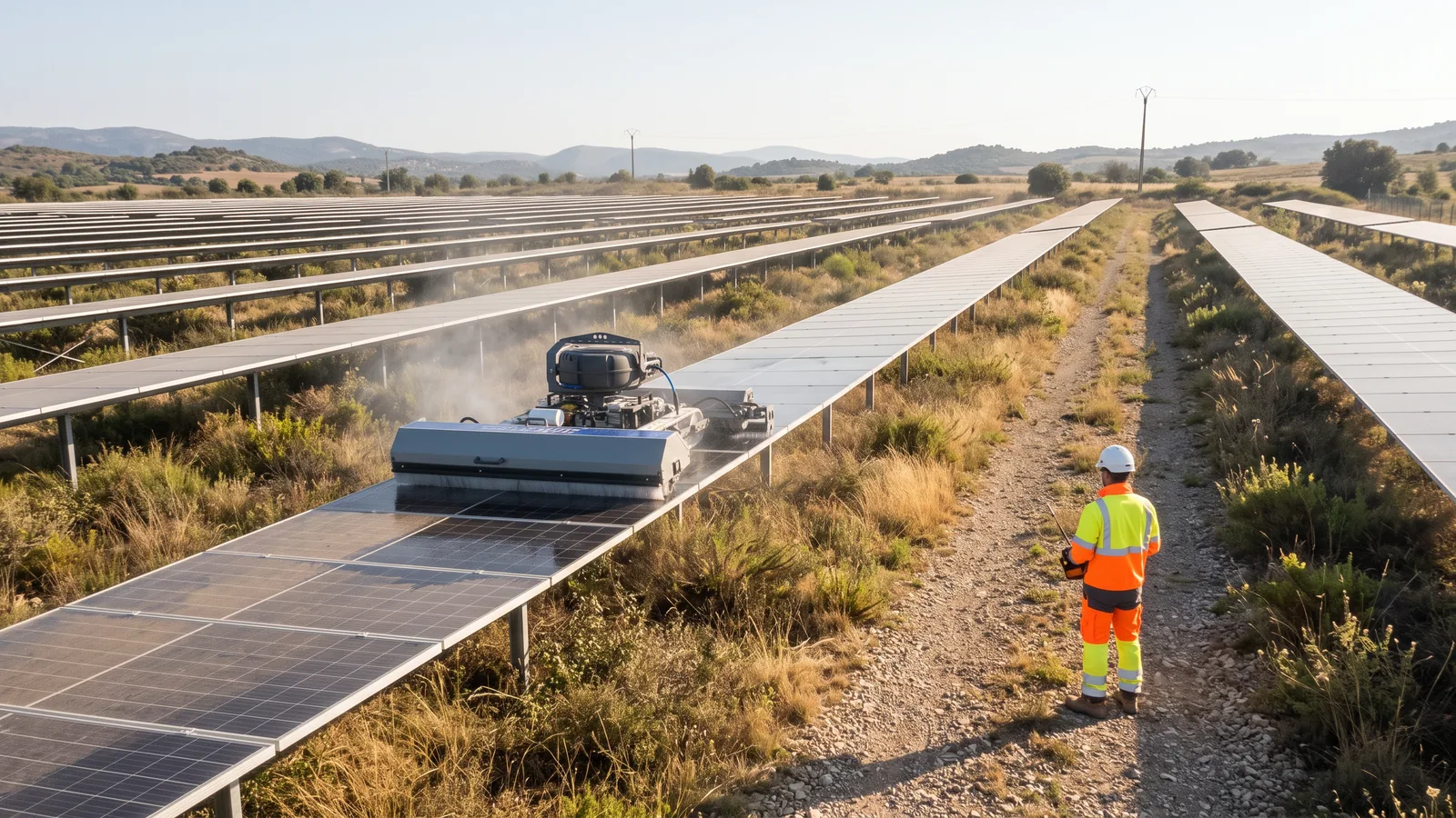 Robotic solar panel cleaningThe robot brushes the module rows, dry or with water, remote-controlled or autonomous depending on the model. Operations teams keep monitoring, electrical checks and plant maintenance.
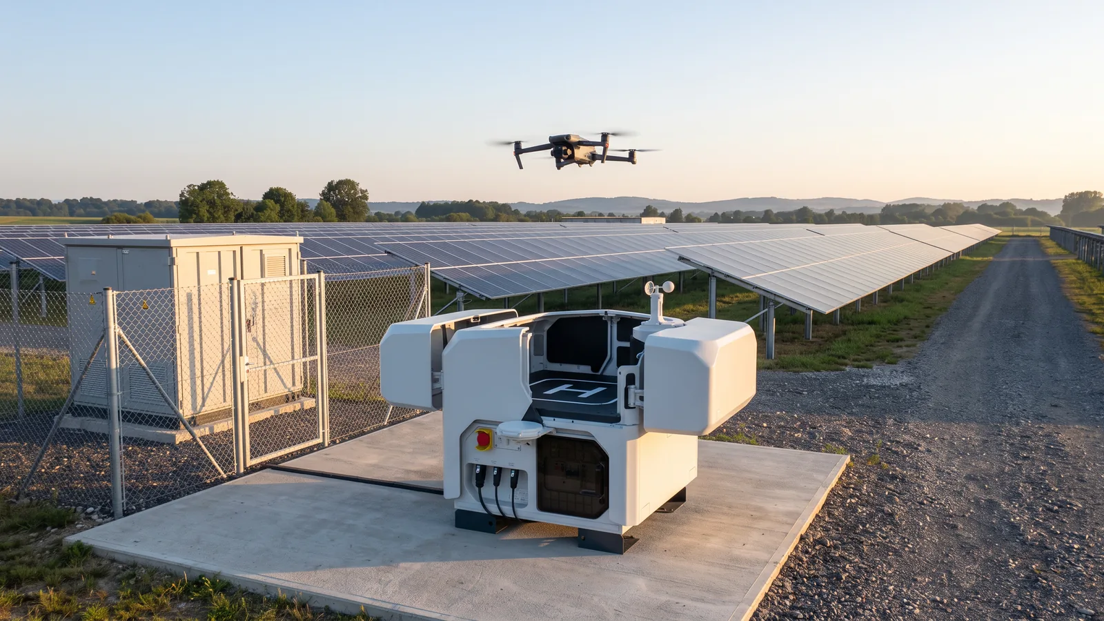 Drone inspection of solar and industrial sitesThe drone flies over modules, roofs, networks and equipment and brings back visible and thermal images, piloted on site or launched from an automated dock. Technicians keep the analysis, decisions and repairs.
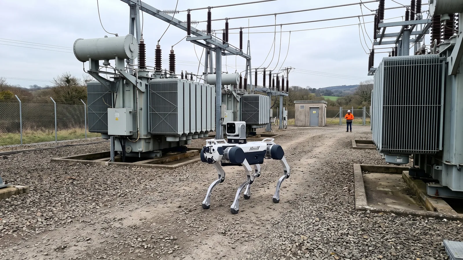 Electrical substation inspectionA ground robot patrols the substation aisles and a docked drone flies over the equipment. Together they record temperatures, gauges and visual condition, without sending someone out for every round.
Robots, acquisition mode and delivery terms, in one written proposal.